Kurigram District (2012)
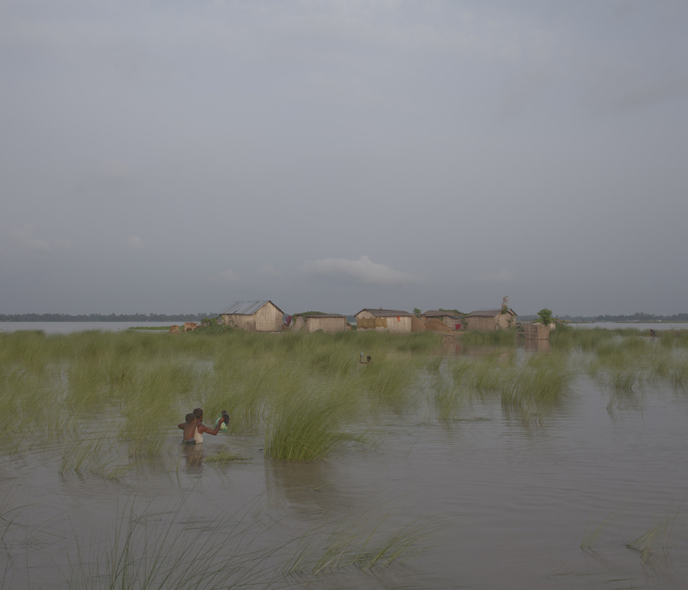
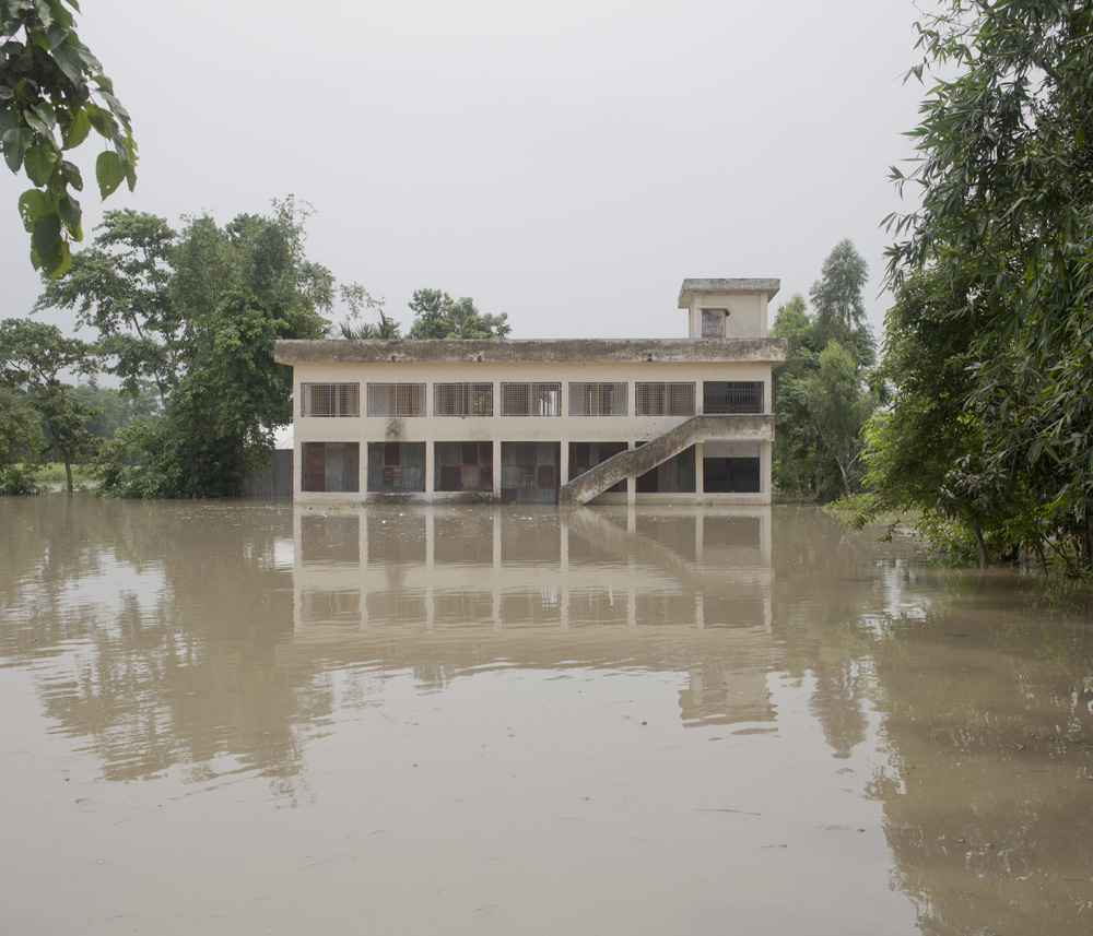
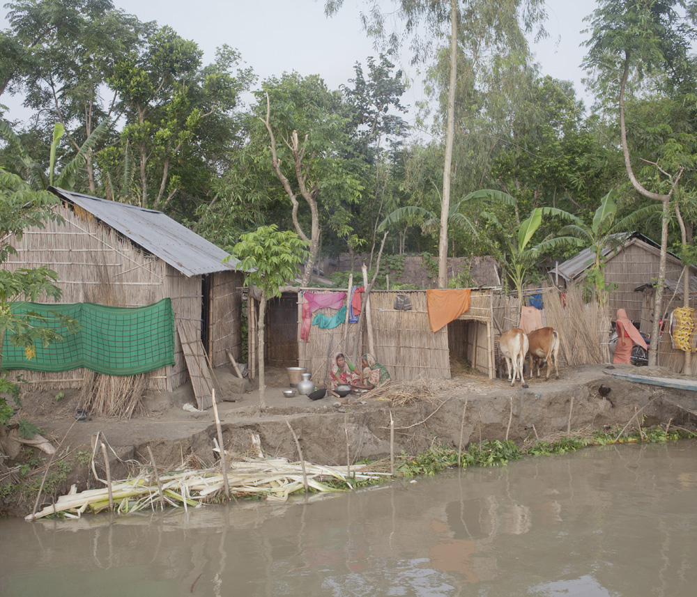
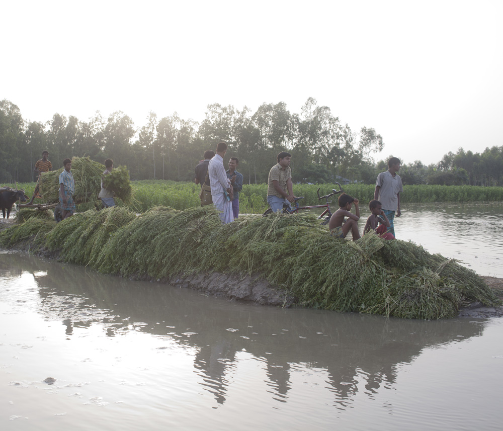
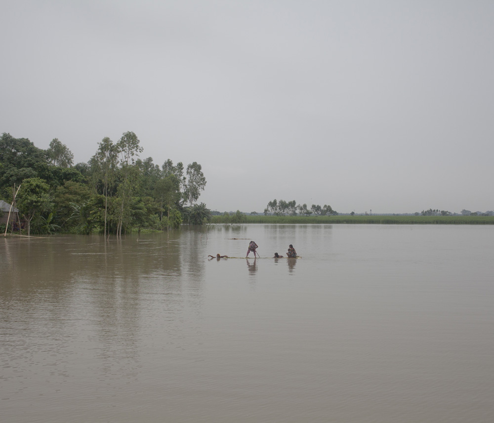
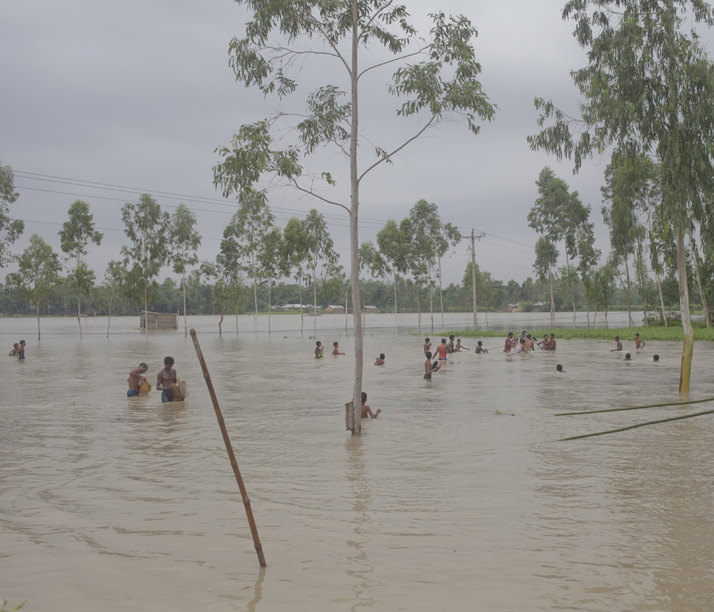
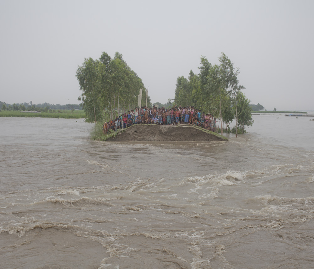
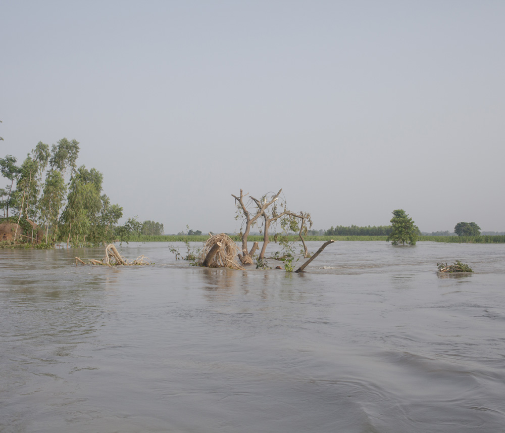
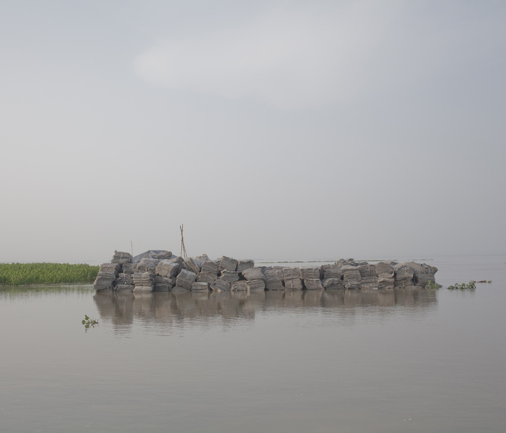
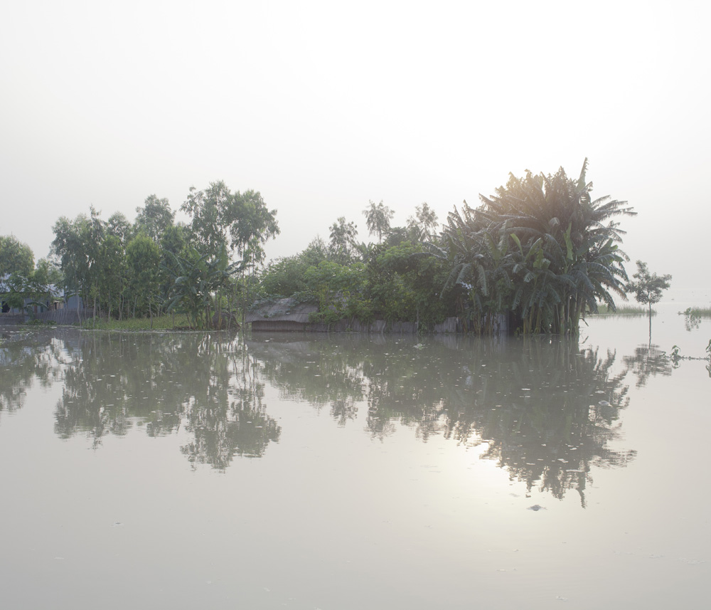
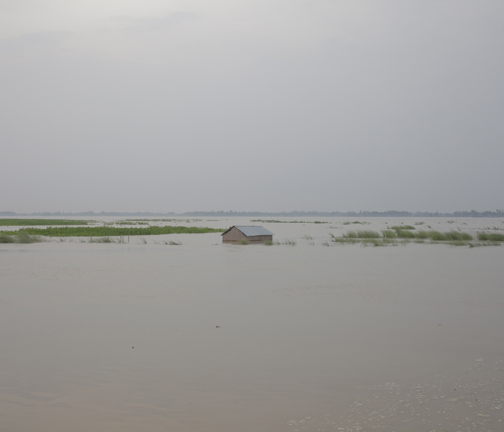
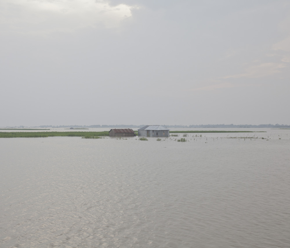
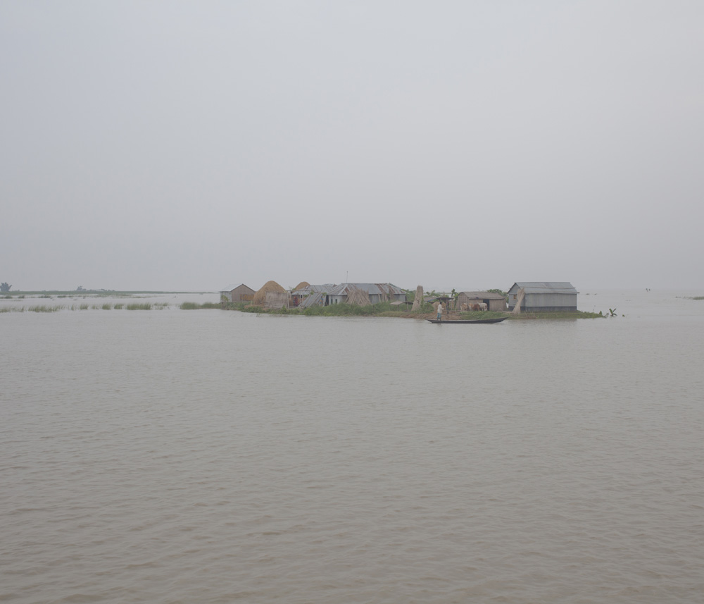
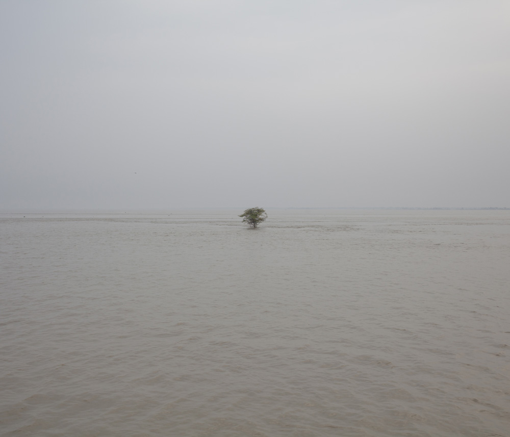
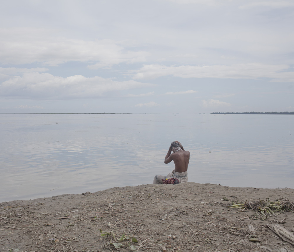
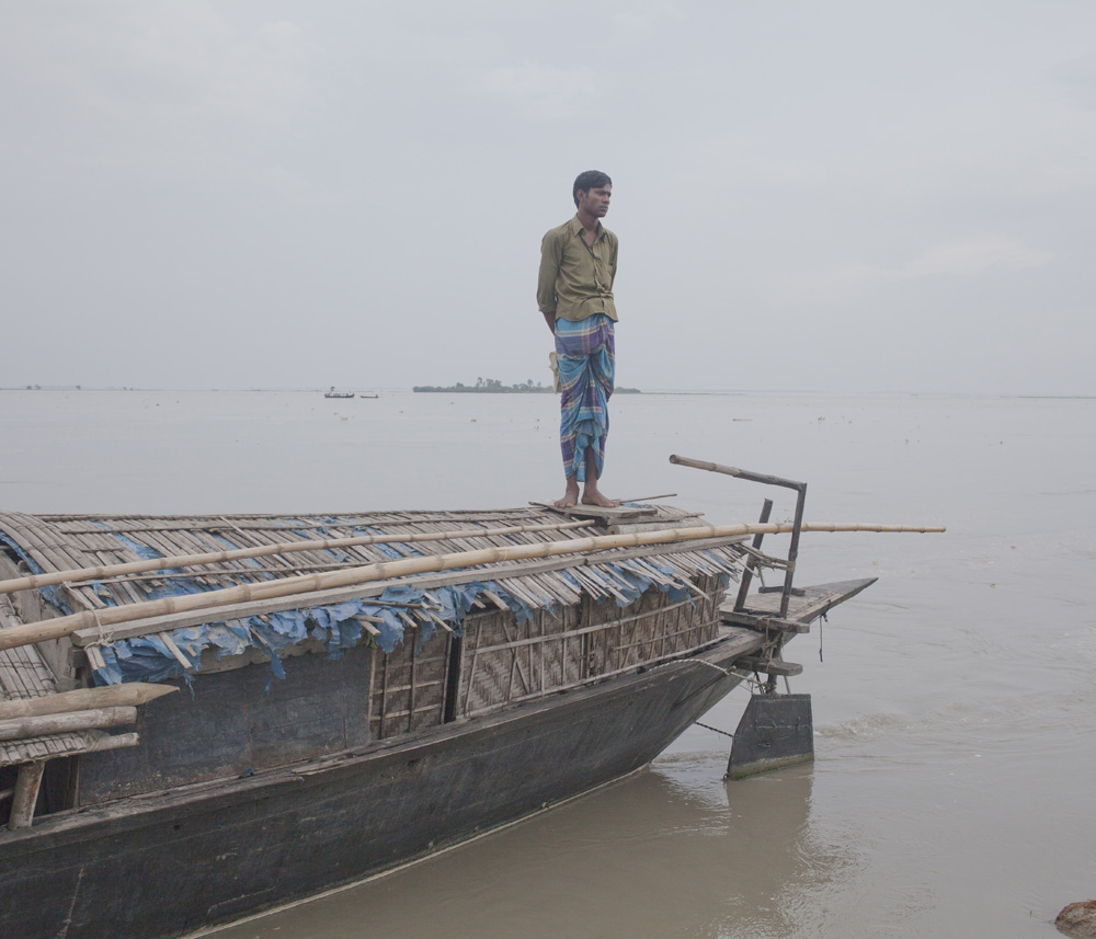
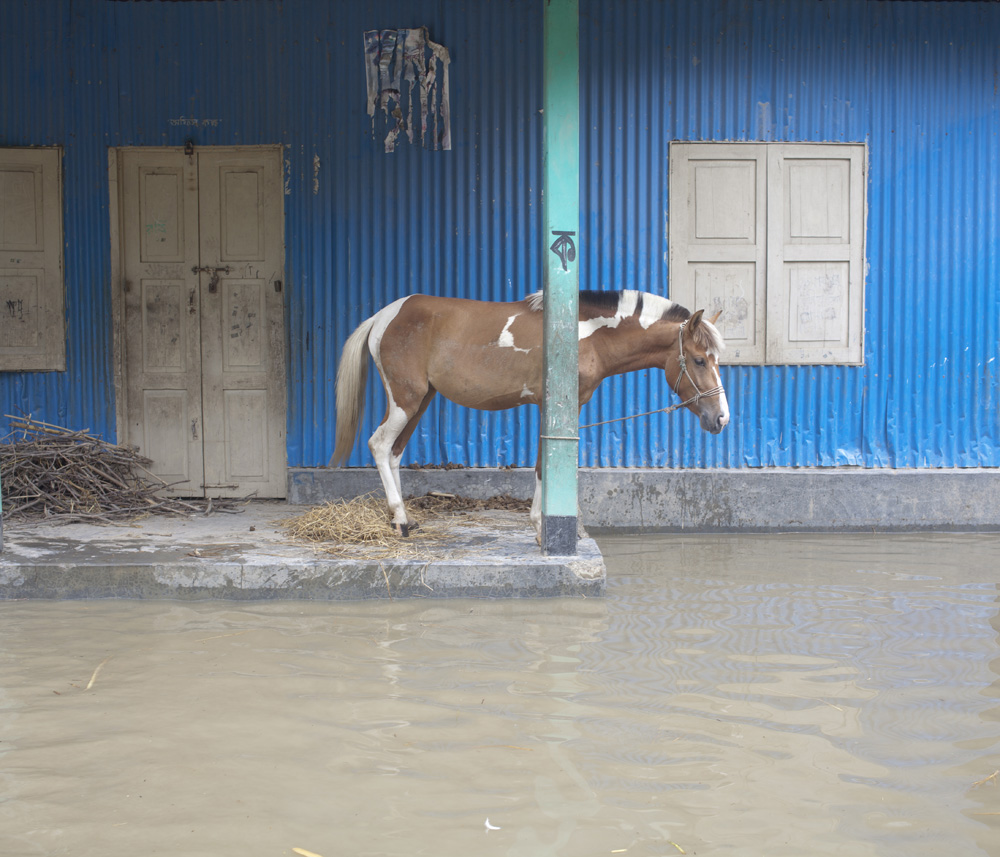
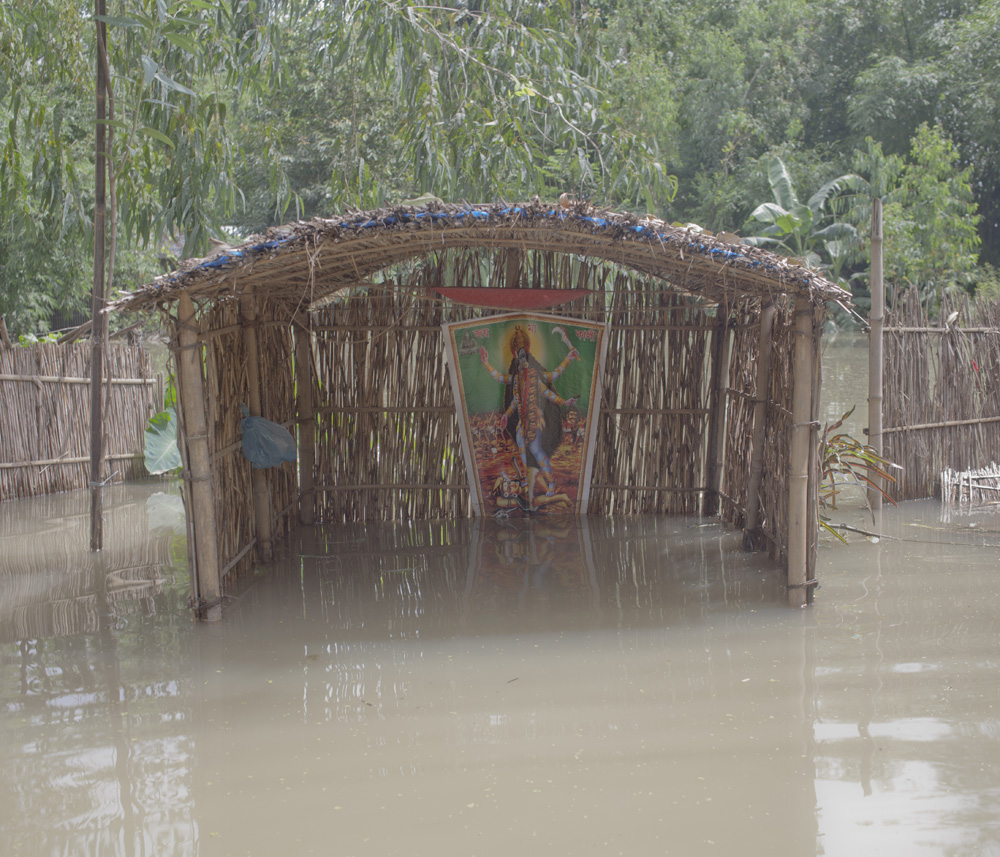
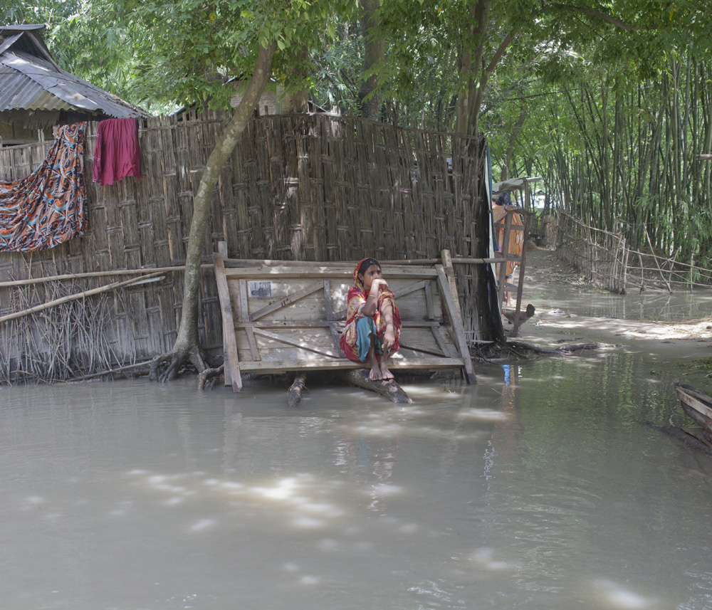
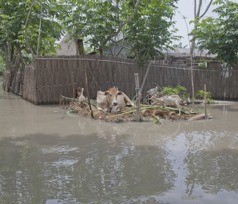
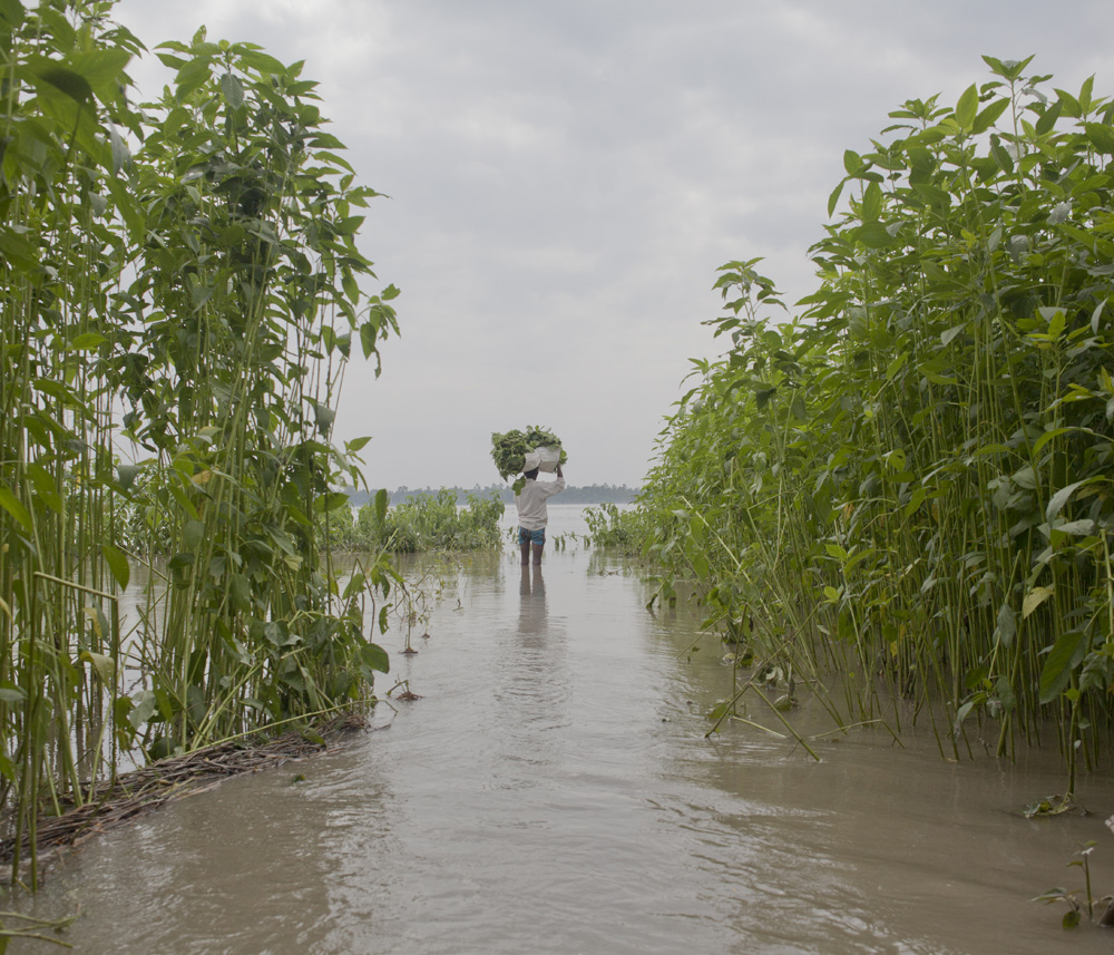
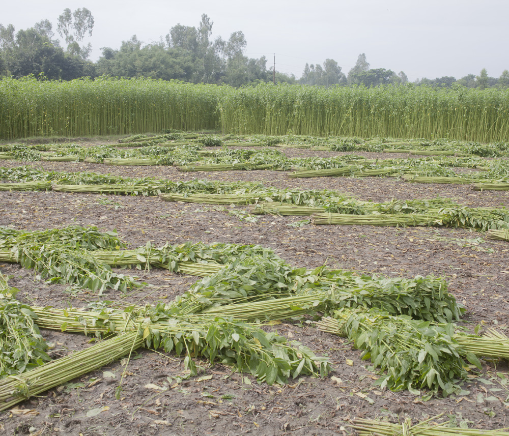
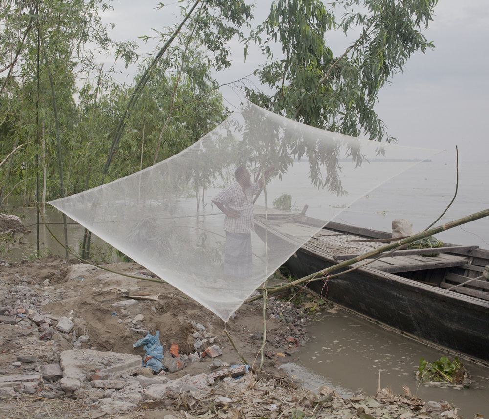
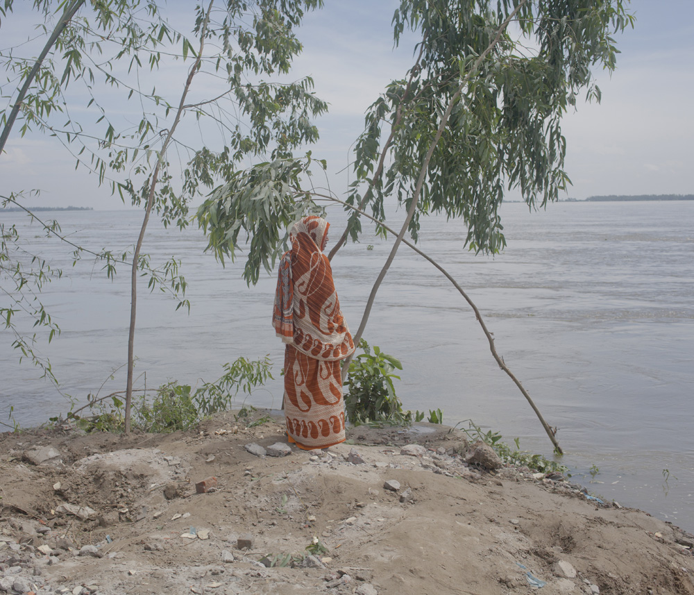
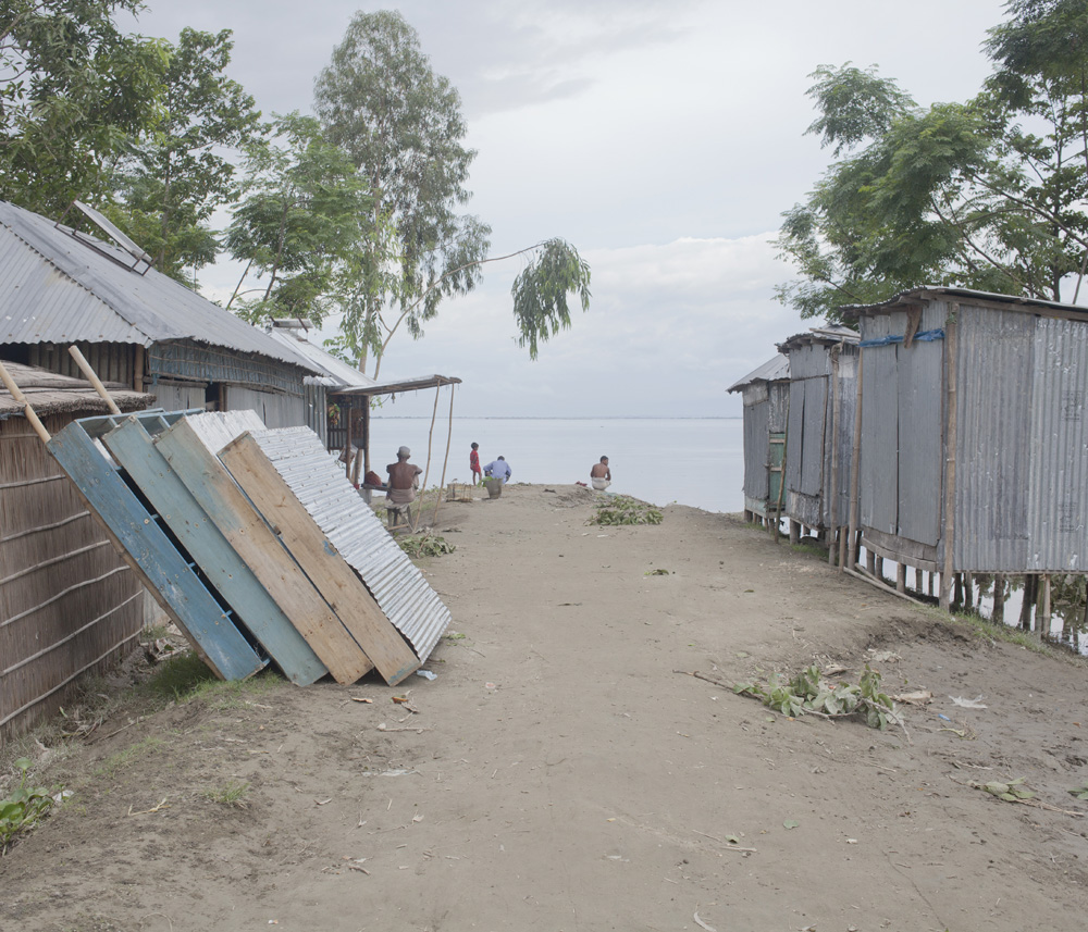
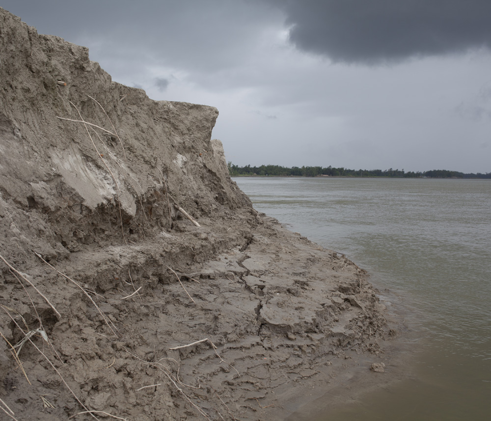
For those living in northern Bangladesh, flooding returns not as an isolated event but as a recurring condition of life. In 2012, after two weeks of upstream water pressure and continuous rainfall, river levels in Kurigram rose more than 53 centimetres above danger level, submerging large areas across Vurungamari, Rajibpur, Nageshwari, Fulbari, Sadar, Ulipur, Chilmari, and the low-lying char regions of Rowmari. Villages disappeared beneath water, roads dissolved into currents, and temporary shelters became the only available refuge for thousands of families.
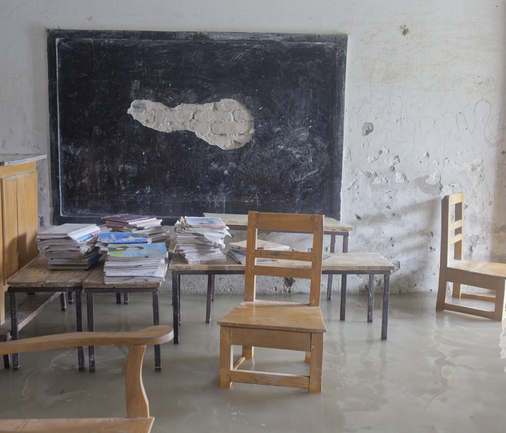
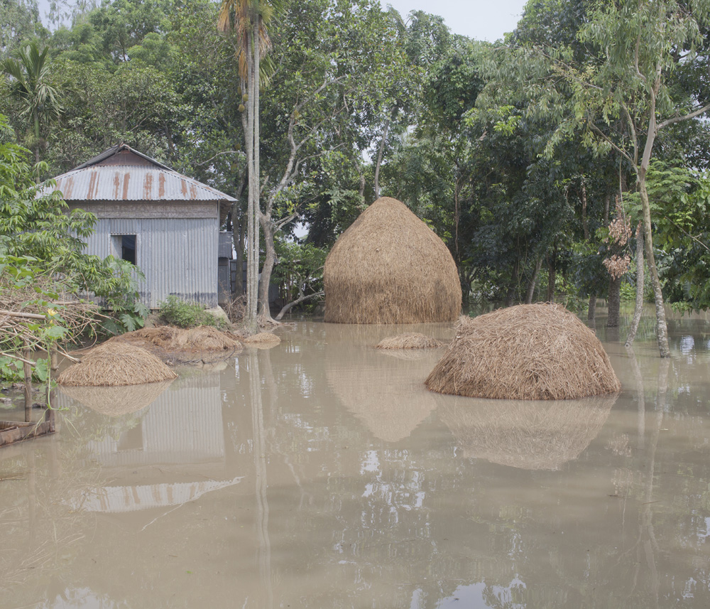
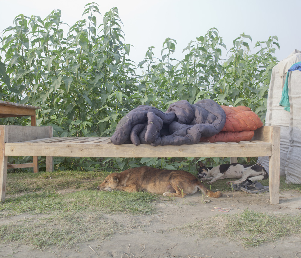
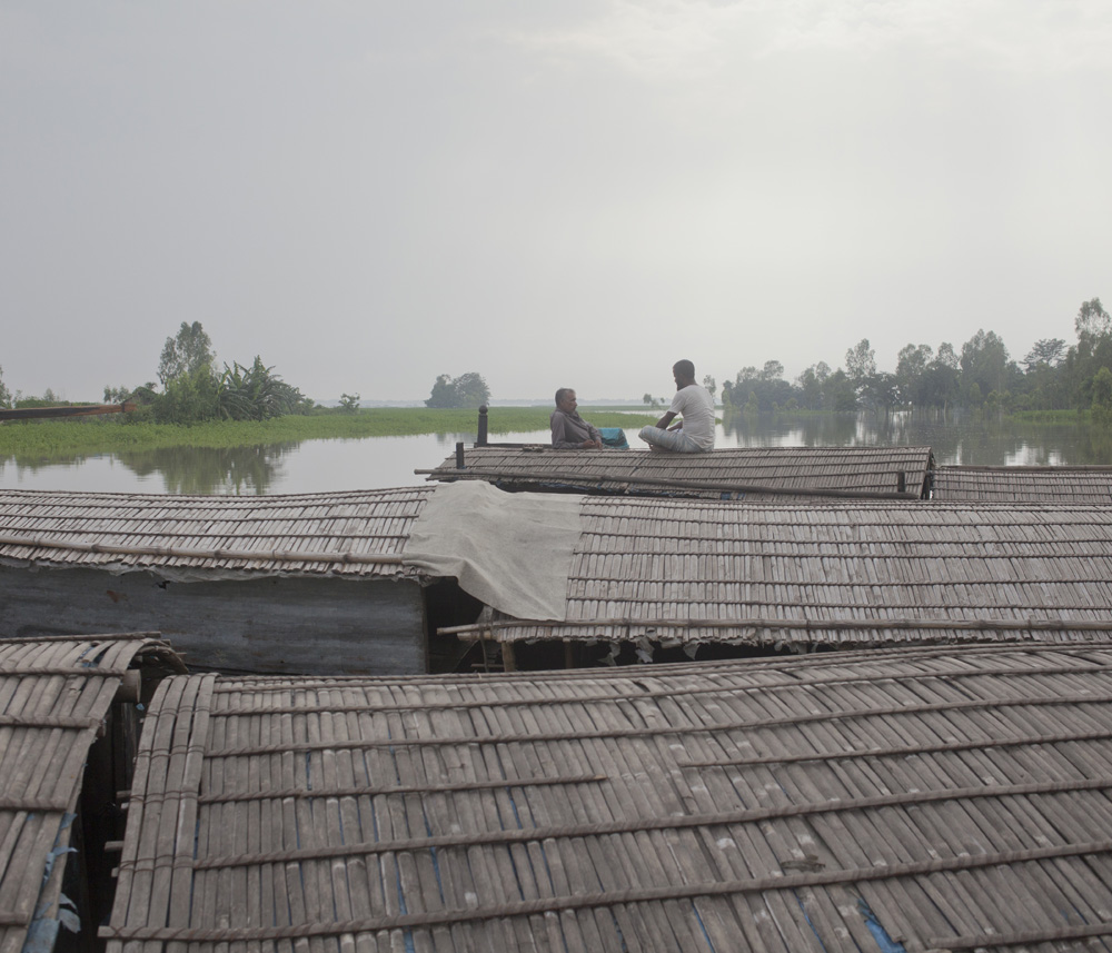
At the peak of the flooding, sixty-nine shelters were opened, housing nearly one hundred thousand displaced people, while hundreds of thousands across the district remained directly affected. This was the second major flood of the same season. Around one thousand villages were impacted, more than one million people lost their homes, and over one hundred lives were reported lost during the monsoon period. The work was made in the border areas near India, where floodwater reshaped both landscape and routine with unsettling speed. Rather than focusing only on disaster itself, the photographs observe how people continue to inhabit water, endure uncertainty, and adapt within conditions that return year after year. In this landscape, climate vulnerability is not abstract. It is lived, negotiated daily, and written into the fragile relationship between land, river, and survival.